
No products in the cart.


Sale!

Original price was: $7.99.$6.39Current price is: $6.39.
- Buy with confidence, backed by quality.
- No-Questions-Asked Returns
- Protecting Your Payment Information
- Safe Payments, Happy Customers

This easy to use grid tool divides a 10-kilometer grid square into 1-kilometer squares. Align the tool on the map grid and read off the easting and northing values. Additionally, by using a straight edge and the 100m tics along the edge, it is possible to locate a point with 100m precision.
Specifications
Scales:
- 1:100,000 x 10km
Dimensions:
Height: 8.500 in. (216mm)
Width: 6.000 in. (152mm)
Thickness: 0.030 in. (1mm)
Made in the United States.
| Title | Default |
|---|
Be the first to review “Map Tools Survival Gear 1:100,000 Scale UTM Grid”
Related products
Sale!
Original price was: $17.50.$12.08Current price is: $12.08.
Sale!
Original price was: $5.50.$4.02Current price is: $4.02.
Sale!
Original price was: $45.00.$34.20Current price is: $34.20.
Sale!
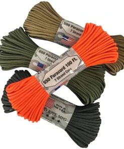
Cordage
Original price was: $8.99.$5.75Current price is: $5.75.
Sale!
Original price was: $6.50.$4.16Current price is: $4.16.
Sale!
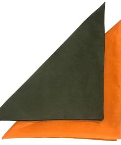

Cotton Bandanas
Original price was: $5.25.$4.10Current price is: $4.10.
Sale!

Original price was: $89.95.$69.26Current price is: $69.26.
Sale!
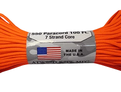
Cordage
Original price was: $2.75.$1.79Current price is: $1.79.
Reviews
There are no reviews yet.